
Pasadena Neighbors Source Coverage
Public sources describe a Pasadena block in different ways. HCAD geometry identifies land parcels, HCAD account records identify appraisal fields, and County Clerk records identify parties to recorded instruments. A voter result is civic status and precinct context. The Neighborhood Network identifies registered organizations and public contact routes. None of these is a complete roster of the people who live beside an address.
| Source | What It Shows About a Block | Access |
|---|---|---|
| HCAD parcel services | Parcel polygon, object ID, returned attributes, and nearby or intersecting geometry | Official REST MapServer and FeatureServer query access |
| HCAD Quick or Advanced Search | Account, situs and mailing fields, legal description, tax year, values, and owner display | Public search with appraisal limitations and update timing |
| Harris County Clerk real-property index | Recorded parties and legal-description chain for lots and units | Public index; image account, fees, and redactions may apply |
| Pasadena Engineering and city map | City limits, roads, bayous, districts, and map or flood context | Public maps and office route; no household list |
| Harris voter search | Registration status, precinct, and polling geography | Lookup limits and protected display rules apply |
| Neighborhood Network | Named neighborhood associations, HOAs, civic groups, and public organization leads | Official map, registration, project, and contact route; members are not published |
The distinction between owner display and occupant is central. An HCAD record can name an owner, trust, estate, lender, or mailing recipient. A deed can name a grantor, grantee, trustee, or lienholder. A shared parcel edge does not prove a shared household, relationship, or current residency among Pasadena neighbors.
Pasadena Parcel Geometry Flow
The research did not locate a browser-facing HCAD parcel-viewer URL. The verified official sources are the HCAD Parcels MapServer and its FeatureServer query endpoint. The MapServer describes parcel boundaries. The query service exposes controls for geometry, spatial relationship, distance, output fields, returned geometry, count, and format. Use a documented query method or an official records channel when the service is not practical to use directly.
- Find the target parcel through HCAD account or address records, then retain the tax year, situs, legal description, and account number.
- Use the parcel geometry as the input to an intersecting or nearby spatial query, noting the relationship, distance, output fields, and result count.
- Turn returned parcels into a dated block worksheet with street number, subdivision, lot, block, unit, and legal-description fields.
- Use the County Clerk index for an individual lot only when the research question calls for its recorded chain, preserving party roles and instrument numbers.
- Compare the resulting block to city, precinct, postal, and Neighborhood Network geography without treating any one layer as a resident roster.
HCAD parcel geometry is in spatial reference 102740 and can return JSON or GeoJSON. Its maximum record count is 1,000. These are mapping details, not identity facts. They make the physical block repeatable for research without asserting that every adjacent parcel holds a particular Pasadena neighbor.
Pasadena Block Descriptions
After geometry identifies a set of parcels, HCAD and the County Clerk provide the fields needed to distinguish them. HCAD can show account, situs, mailing address when displayed, neighborhood or subdivision, property type, exemptions, jurisdictions, and a GIS relationship. The County Clerk index provides file or instrument number, recording date, grantor, grantee, trustee, instrument type, legal description, volume or page, and image or copy availability.
Legal descriptions matter because a recorded instrument may not use the modern street name. A lot, block, unit, abstract, tract, or subdivision field can be more reliable than an address when a parcel was split, combined, renumbered, or carried with a zero or unknown street number. Keep a deed party distinct from a current owner display or a historical directory name.
For the full named-street address chain, use the Pasadena street directory. The narrower neighbor method stays on the immediate block and its parcel geometry.
Pasadena Neighborhood Network
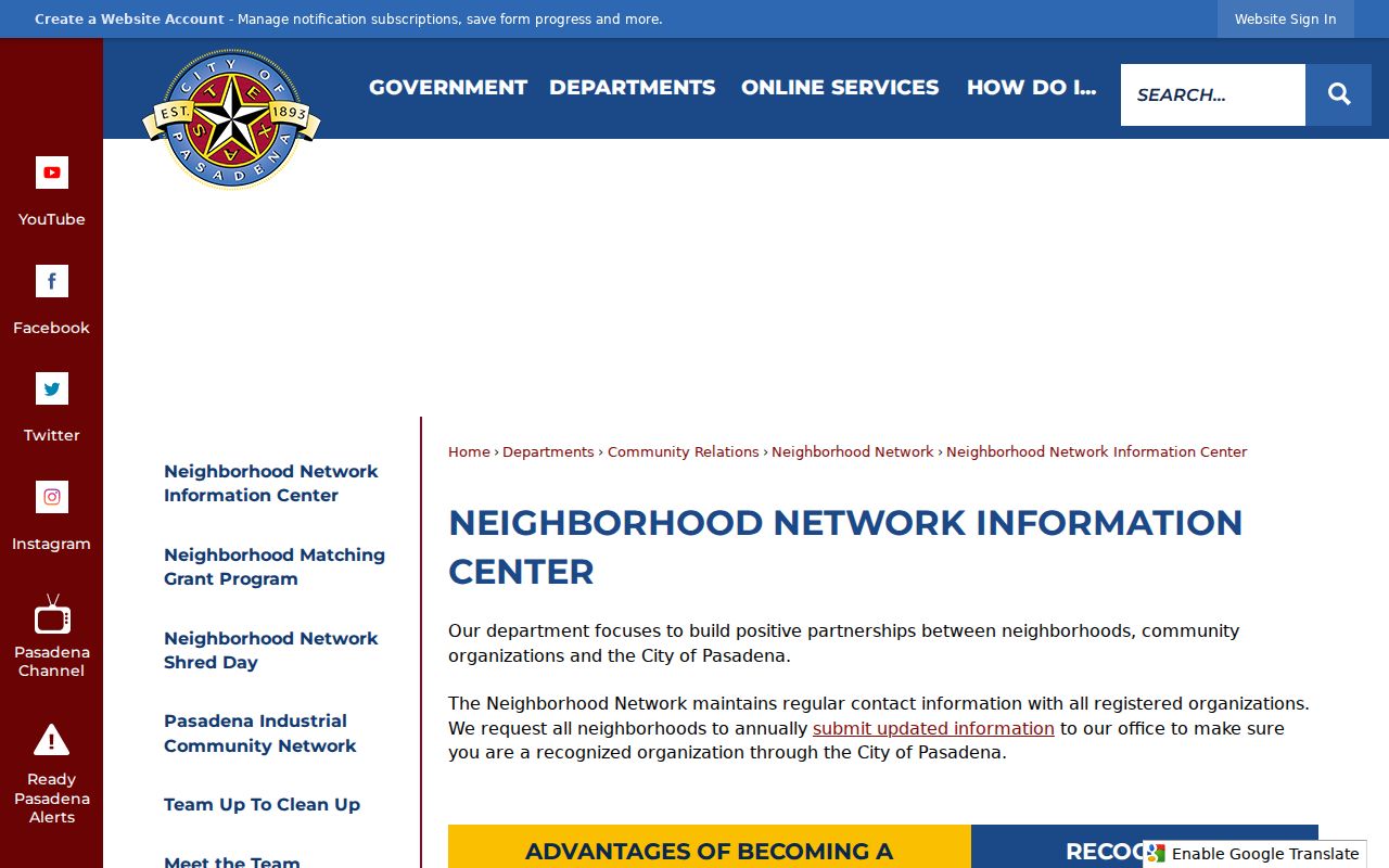
The Pasadena Neighborhood Network Information Center is the verified route for organization registration, map and list access, and public contacts. Registered groups have annual contact updates. Active status requires officers or a board, bylaws, current-year agenda and minutes, and an open annual meeting. The map supplies useful civic geography, while membership rosters are not published.
The Neighborhood Network source shown below is a public organization route. It does not turn a named association into a list of Pasadena neighbors or a city-certified membership record.
Official map names include Old Town Pasadena, Deepwater, Red Bluff Terrace, Pasadena Gardens, Golden Acres, Bayou Lakes, Strawberry Hills, Fairmont Estates, Baywood Shadows, Village Grove, Taylor Lake Village, University Park, and Preston Trails. Confirm current spelling in the official map PDF. Map names are geographic leads, not legal boundaries.
Pasadena Neighborhood Types
Pasadena's official organization guidance separates three kinds of groups. An HOA is governed by deed restrictions, articles, bylaws, and codes, with mandatory membership and dues. A neighborhood association has no membership fee. A civic club has optional membership and fees. Those labels should not be collapsed into one generic neighborhood record because the public contact route and internal records can differ.
| Organization type | What the city guidance distinguishes | Public research use |
|---|---|---|
| Homeowners association | Deed restrictions, articles, bylaws, codes, mandatory membership and dues | Use official public contact or organization information, not a member list |
| Neighborhood association | No membership fee | Use its Neighborhood Network name and public contact route as civic context |
| Civic club | Optional membership and fees | Treat public project or contact information as an organization lead, not household evidence |
Baywood Shadows maintains an official civic association site and describes a volunteer resident board in Pasadena 77505. That is an association's own public contact source. It does not establish a complete block membership list or the current occupants of nearby parcels.
Pasadena Civic Grant Leads
Public grant awards supply a time-stamped way to identify active organizations without exposing personal data. The FY2026 matching-grant material names projects such as National Night Out, lighting, monument or tree removal, playground, and mailbox improvements. A project shows public civic activity by a group. It does not prove that every nearby household belongs to it.
| Public source | Organization examples | What the listing supports |
|---|---|---|
| FY2026 matching-grant awards | Strawberry Glen Community Association, Taylor Lake Shores HOA, Terreno Vista HOA | Named groups and dated project leads |
| FY2026 matching-grant awards | The Three Villas Neighborhood Association, Turtle Creek HOA, University Park Patio Homes | Public project context, not a roster |
| FY2026 matching-grant awards | Village Grove Community Association and Village Grove East HOA | Current civic activity that can be checked with the organization route |
Pasadena's FY25 Neighborhood Network activity is reported as 62 grant projects totaling $200,491, along with a Community Shred Day. Those figures describe program activity, not the number of residents in a neighborhood or the size of a group.
Pasadena Voter Geography
Harris voter search has current-registration and pending-registration tabs, a search mode, and a text input. VoteTexas accepts name, county, date of birth, and ZIP for its lookup path. Use these systems for registration, precinct, and polling context. A voter registration is not proof of current residence, occupancy, or how a person voted.
Harris says its web search does not show phone, Social Security number, Texas driver license or personal-identification number, date of birth, or protected judge address. Texas guidance restricts website display of several fields and can show a protected voter address as three asterisks. A returned-address confirmation can place a record in suspense, so preserve source date and status instead of calling it a confirmed Pasadena address.
Note: A precinct is civic geography for a voter record, not a public list of every household on the block.
Pasadena Neighbor Source Comparison
Official records state their custodian, date, field labels, and access limits. Commercial neighbor-search products often combine public and commercial data, but may be stale or conflate people with similar names. A comparison should preserve that difference instead of presenting an aggregated result as a verified block record.
| Source category | Useful for | Limit to keep visible |
|---|---|---|
| Official parcel and deed records | Boundary, legal description, tax-year appraisal, and recorded-party trail | Fields establish property or legal roles, not every occupant |
| Official civic sources | Precinct, polling, city map, public organization, and grant context | Protected fields and organization membership remain limited |
| Commercial neighbor tools | A possible lead for a question to verify elsewhere | May be stale, incomplete, or conflated; do not treat it as official proof |
Pasadena Neighbors Privacy Limits
Texas privacy rules are field-specific. The Texas Address Confidentiality Program gives eligible victims a substitute mailing address and forwarding route. Voter web suppression and HCAD online owner-display replacement are narrower controls, not universal removal from every public record. Utility customer names and addresses were not located as a public directory field, and no verified public membership rosters for local congregations, civic groups, or neighborhood organizations were located.
Leave out protected addresses, restricted identifiers, private-request fields, and unnecessary personal details. If an at-risk person needs help, use official law-enforcement, court, victim-service, or confidentiality-program channels rather than repeated address searches.
Lawful use. Use Pasadena neighbor records for lawful personal research, civic context, or property curiosity. Do not use them to stalk, harass, intimidate, or harm anyone.